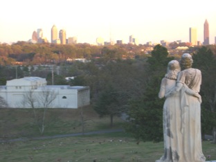
Atlanta’s Upper West Side
( Or the forgotten beginning of the City of Atlanta)
by Riverside Kate
Standing Peachtree Today
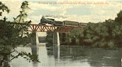
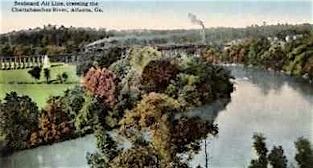
Montgomery Ferry
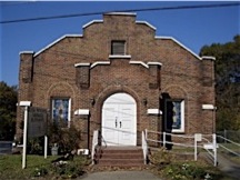
Collins Memorial Methodist Church
Church of God
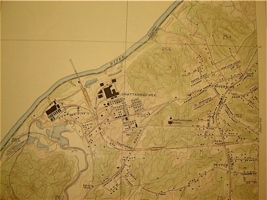
USGS Topo Map 1927