


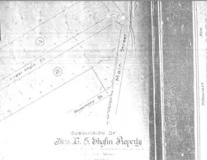
Mrs. L. E. Chafin Property -- 1927
From Plat Book 1, Page 55, Fulton County Records
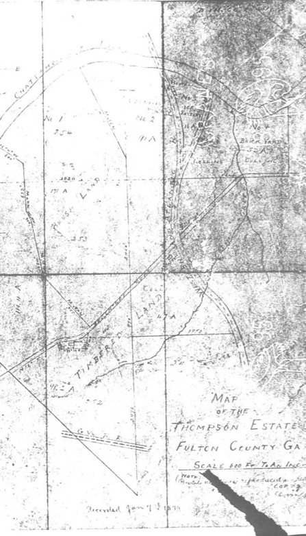
Recorded January 7, 1879
"Map of The Thompson Estate, Fulton County GA"
Notes:
Tract to the west labeled "J. W. Spink 111.11 acres"
Tract No 1. labeled "Brush Land 171 acres" includes Land Lots 254 and 253
Tract No 2. labeled "Collins 91 acres"
Tract No 3. labeled "Ice Factory 16 acres"
Tract No 4. labeled "Brick Yard 52 acres Collins"
Other Collins tract labeled 42 acres south of road, between Thompson and W&A RR
Western and Atlantic Railroad
Current Day Bolton Road labeled Peachtree Road
"Depot" labeled at NE corner of W&A RR and Peachtree Road
Another structure labeled at SW corner, cannot make out writing, possibly "____DEN"
Thompson Estate, later Spink Estate shown at curve in Road, labeled 98.2 acres, Land Lot 252
Whetstone Creek
Current Southern RR labeled G.W.R.R.
J.W. Spink married Thompson's daughter Elizabeth. The estates were combined and became known as the Spink Estate.